
TL;DR
Get ready for Prime Big Deal Days — try Prime free
Exclusive member deals on October 6–7, plus fast free delivery. Cancel anytime.
Start your free trialAs an affiliate, we earn on qualifying purchases.
Germany has ordered exclusive access to a synthetic aperture radar constellation with AI-supported image evaluation under a contract worth about €1.7 billion. Radar can collect imagery through clouds and darkness, while AI can screen the resulting data for changes and targets, but public accuracy and latency figures remain unavailable.
Germany’s Bundeswehr has ordered exclusive access to a synthetic aperture radar satellite constellation with AI-driven image evaluation under a contract worth about €1.7 billion, according to Rheinmetall and ICEYE. The program shows how automated analysis is being paired with radar satellites that can collect imagery through clouds, smoke and darkness.
The contract, known within the Bundeswehr as SPOCK 1, runs from the end of 2025 through 2030 and includes constellation operations, ground-station management and image evaluation. Rheinmetall said the data will primarily support the German brigade in Lithuania and surveillance of NATO’s eastern flank. Production of the first joint-venture satellites is scheduled for the third quarter of 2026.
SAR satellites transmit microwave pulses and measure the returning echoes. Unlike optical sensors, they do not depend on sunlight and can observe through most cloud cover. The European Space Agency says radar interferometry can also detect ground movement of a few millimetres, supporting monitoring of subsidence, landslides, volcanoes and infrastructure.
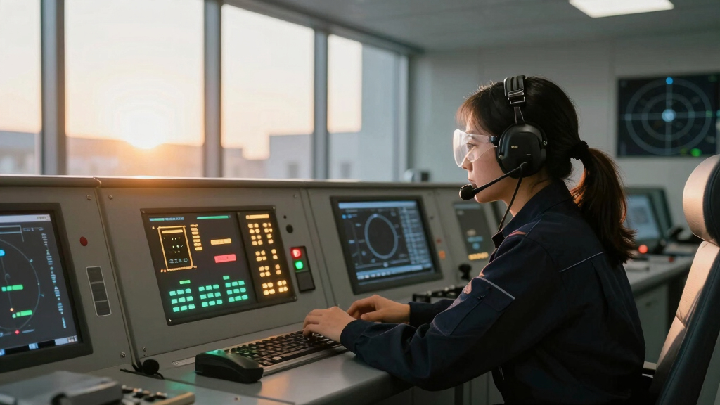
The AI layer does not make the radar itself operate around the clock. Its job is to process incoming scenes, compare them with earlier images, identify possible ships, vehicles, flood boundaries or ground movement, and rank detections for human review. This can reduce the volume analysts must inspect, although automated alerts are not proof that a target or event has been correctly identified.
Radar That Never Blinks
What SAR Does — for Companies, Institutions, Governments
Active microwave imaging: its own illumination, any weather, any hour. The sensor is solved — the reading of it isn’t.
Three consequences of the physics
Active sensor: transmits its own microwave pulses. Same image quality at 3 a.m. in a North Sea storm as at noon in the Sahara.
Phase-coherent imaging enables InSAR: ground deformation at millimeter scale — subsiding dams, sagging bridges, hidden excavation.
Metal reflects radar strongly. A ship that switches off its transponder vanishes from tracking sites — not from a radar image.
Who buys it, and why — three different answers
- Insurance: flood-extent maps within hours, through the storm — parametric payouts before adjusters arrive
- Infrastructure & energy: InSAR subsidence alerts on pipelines, rail, dams — no ground sensors
- Maritime & commodities: dark-vessel detection, port congestion, storage monitoring
- Caveat: buy analytics, not raw phase histories — the value is in the interpretation layer
- Disaster response: damage proxies and flood maps while optical is blind
- Climate science: ice velocity, deforestation under perpetual cloud (Sentinel-1, free & open)
- OSINT & journalism: verifiable all-weather evidence — normalized by Ukraine, institutionalized since
- Caveat: radar literacy is scarce — misread speckle becomes a confident, wrong “convoy”
- Deterrence: continuous all-weather watch closes the cloud-cover exploit window
- Verification: arms-control and sanctions evidence that doesn’t blink
- Autonomy: a subscription can be throttled by a foreign provider; a nationally-tasked constellation can’t
- Caveat: collection has outrun exploitation — the analyst corps can’t screen sub-hourly revisit manually
Europe is buying constellations, not just imagery
THE EXPLOITATION GAP
The scarce resource is no longer the satellite — it’s the software that turns phase histories into detections and decisions, in the jurisdiction the mission requires. Whoever owns the software that reads the radar owns the value of the constellation above it. Buying satellites while importing the exploitation stack just moves the dependency one layer up.
AI Turns Imagery Into Alerts
The combination matters because collection capacity is growing faster than teams can manually examine radar images. SAR scenes are speckled, geometrically distorted and difficult to interpret without specialist training. Automated change detection can direct analysts toward unusual activity or rapid damage while leaving final judgments to trained personnel.
Outside defense, the same workflow can support flood mapping during storms, infrastructure-deformation warnings, oil-spill detection and searches for ships that are not broadcasting identification signals. For buyers, the usable product is increasingly an alert or risk assessment, rather than a raw radar file.
Synthetic Aperture Radar (SAR) satellite
As an affiliate, we earn on qualifying purchases.
As an affiliate, we earn on qualifying purchases.
Europe Expands National Radar Capacity
European governments are buying greater control over radar collection. Poland transferred its MikroSAR reconnaissance system to its armed forces in May 2026 after the launch of several radar satellites, according to the Polish Defense Ministry. Germany’s model provides exclusive access to a privately owned constellation rather than government ownership of the satellites.
Commercial performance is also rising. ICEYE says its Gen4 satellites can produce imagery at up to 16-centimetre resolution and make revisit intervals below 15 minutes more accessible. Those are company performance claims; results depend on orbit, tasking priority, location, imaging mode and ground-processing time.
“The sensor is solved — the reading of it isn’t.”
— Thorsten Meyer AI briefing
AI-powered satellite image analysis device
As an affiliate, we earn on qualifying purchases.
As an affiliate, we earn on qualifying purchases.
Accuracy and Coverage Stay Undisclosed
Rheinmetall and ICEYE have not publicly disclosed the German system’s detection accuracy, false-alarm rate or processing latency. They have also not detailed which models will be used, where training data originated or how analysts will challenge an incorrect result. Those omissions prevent an independent judgment of the AI system’s operational reliability.
The phrase “24/7 surveillance” also needs qualification. SAR can collect in darkness and poor weather, but a satellite does not continuously watch one location. Coverage depends on constellation size, orbital passes, tasking and communications. Radio-frequency interference, terrain effects and deliberate camouflage can also reduce image quality or complicate interpretation.
all-weather satellite imaging system
As an affiliate, we earn on qualifying purchases.
As an affiliate, we earn on qualifying purchases.
German Satellite Production Nears
The next published milestone is the planned start of satellite production in Neuss during the third quarter of 2026. Attention will then turn to launch schedules, operational acceptance and performance reporting. Any disclosed figures for revisit time, alert latency and false detections will show how closely the delivered service matches its persistent-monitoring promise.
As an affiliate, we earn on qualifying purchases.
Key Questions
What is synthetic aperture radar?
Synthetic aperture radar is an active imaging system that sends microwave pulses toward Earth and records their reflections. By combining measurements collected along an orbital path, it creates detailed images without sunlight.
How does AI help analyze radar imagery?
AI models can compare scenes, locate objects, classify patterns and flag changes for analysts. They are most useful for screening large data volumes, but their output still requires human and contextual verification.
Can SAR satellites really monitor an area continuously?
Not in the same way as a fixed camera. SAR works day or night and through clouds, but each satellite passes over an area at intervals. Near-continuous monitoring requires multiple satellites and rapid tasking.
What can radar satellites detect?
Applications include ships, flood boundaries, ice movement and surface deformation. Detection quality varies with resolution, radar frequency, viewing angle, environmental conditions and the quality of the interpretation software.
Source: Thorsten Meyer AI
Fall Picks
fall essentials
As an affiliate, we earn on qualifying purchases.